I am currently a third-year PhD student at the Institute of Ocean Technology and Marine Affairs of National Cheng Kung University in Taiwan. Recent research has focused on coastal aquaculture devices monitoring and adaptive marine spatial planning. I am an adaptable and quick learner with a broad and keen interest in discoveries in marine spatial management and an analytical researcher with 5 years of hands-on experience in geographic information systems as well.
Education

Sep 2019 - Present
National Cheng Kung University
Institute of Ocean Technology and Marine Affairs
Skills
Research Skills
- Satellite image analysis
- Geoinformation
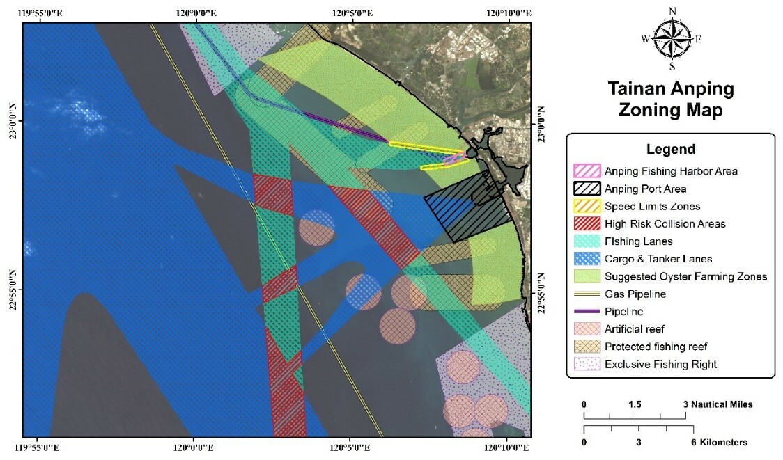
- Ocean zoning
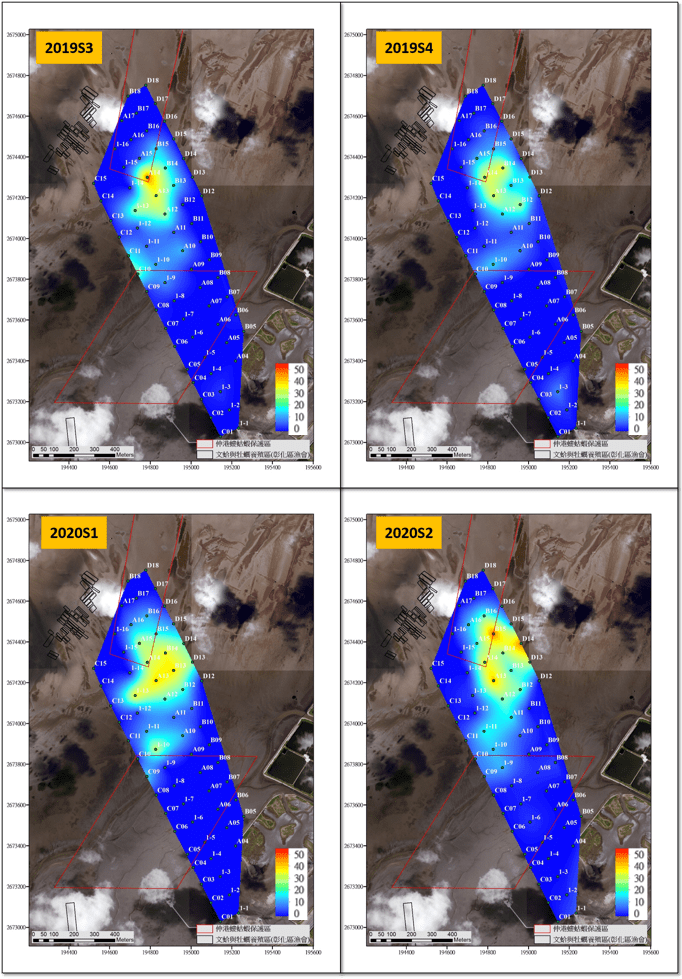
- Hotspot Analysis
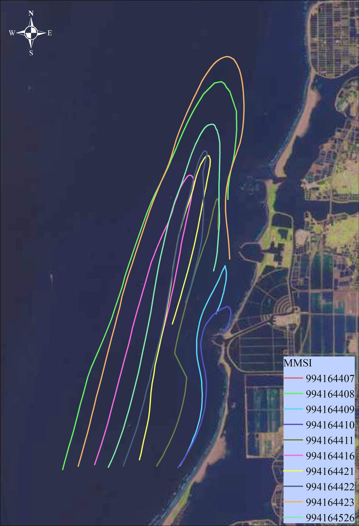
- Vessel traffic analysis of AIS data
- Shoreline change analysis (DSAS)
- Front-end web development
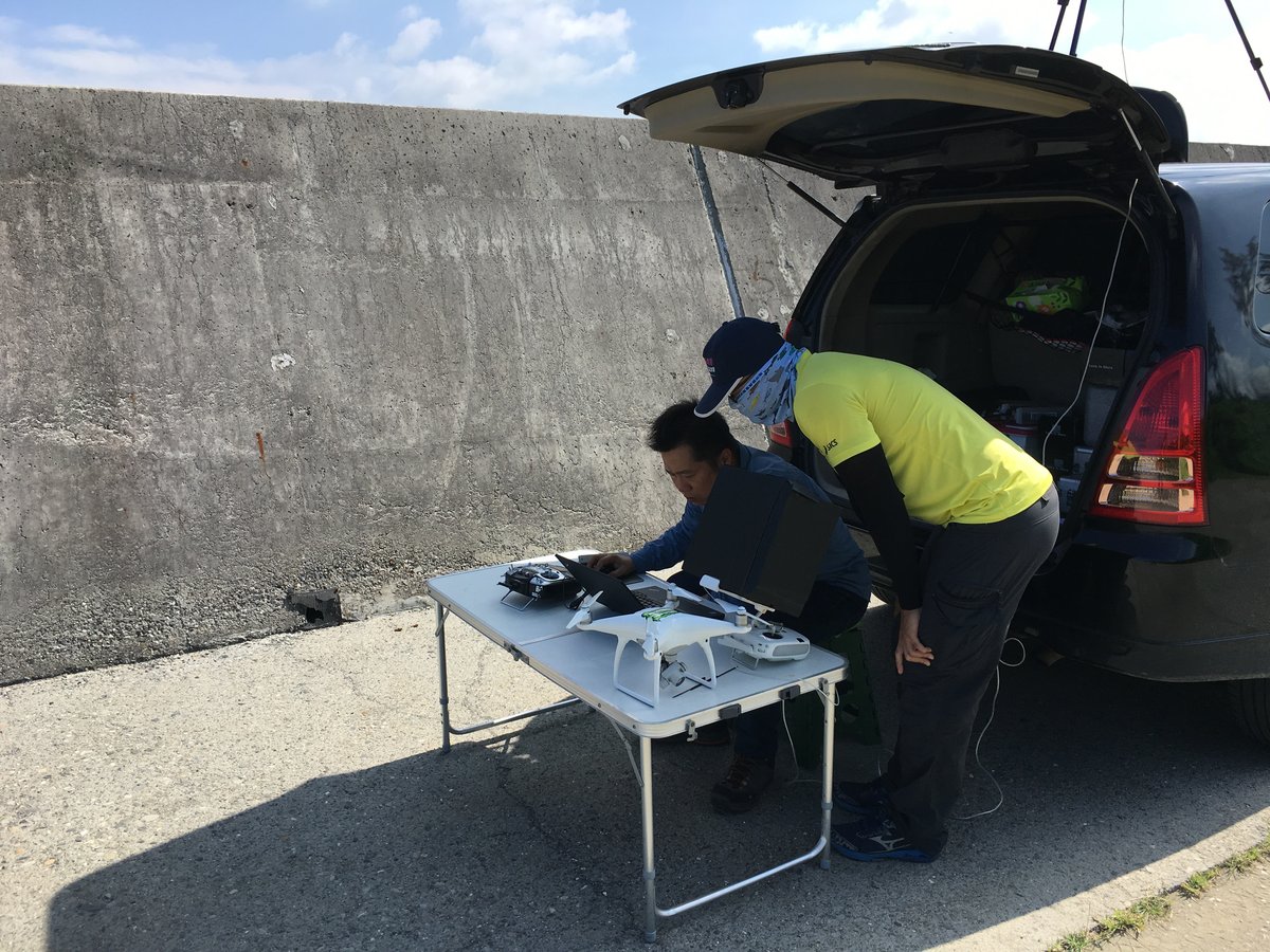
- Experience in unmanned aerial vehicle (UAV) operation
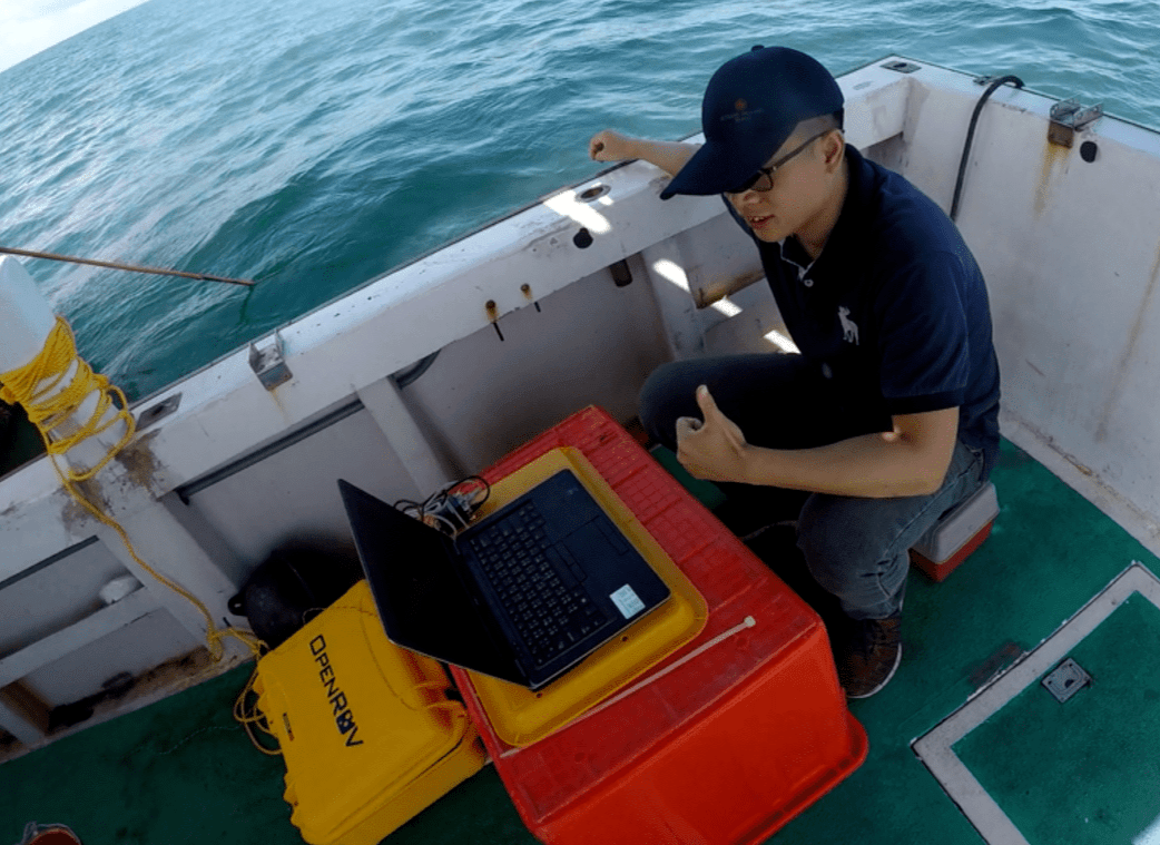
- Experience in remotely operated vehicle (ROV) operation
Software and Coding
- ArcGIS
- QGIS
- eCognition
- Sentinel Application Platform (SNAP)
- Marxan
- Matlab
- MSSQL
- GeoServer
- IBM SPSS Statistics
- AutoCAD、Access、Photoshop
- HTML、CSS
Publication
GIScience & Remote Sensing • 2021 • Impact Factor 6.238
Monitoring coastal aquaculture devices in Taiwan with the radio frequency identification combination system. (DOI:10.1080/15481603.2021.2016241)
Marine Policy • 2021 • Impact Factor 4.173
Improving marine protected area with coordination platform: Mud shrimp conservation in Taiwan case study. (DOI:10.1016/j.marpol.2021.104607)
IEEE International Geoscience and Remote Sensing Symposium
(USA 2017)
Feasibility study of RFID-Mounted drone application in management of oyster farms. (DOI:10.1109/IGARSS.2017.8127780)
Government Projects
Jan 2022 - Present
Researcher Chiayi City Government, Taiwan
Development of oyster floating raft monitoring and early warning management system (Budget Amount: 35,000 USD)
Jan 2021 - Dec 2021
Researcher Tainan City Government, Taiwan
Establishment of Oyster Floating Raft Management Plan Using Automatic Monitoring System (Budget Amount: 35,000 USD)
Jan 2020 - Dec 2020
Researcher Ocean Affairs Council, Taiwan
Application of Artificial Intelligence in the establishment of marine industry management and early warning system (Budget Amount: 85,645 USD)
Jan 2019 - Dec 2019
Researcher Ocean Affairs Council, Taiwan
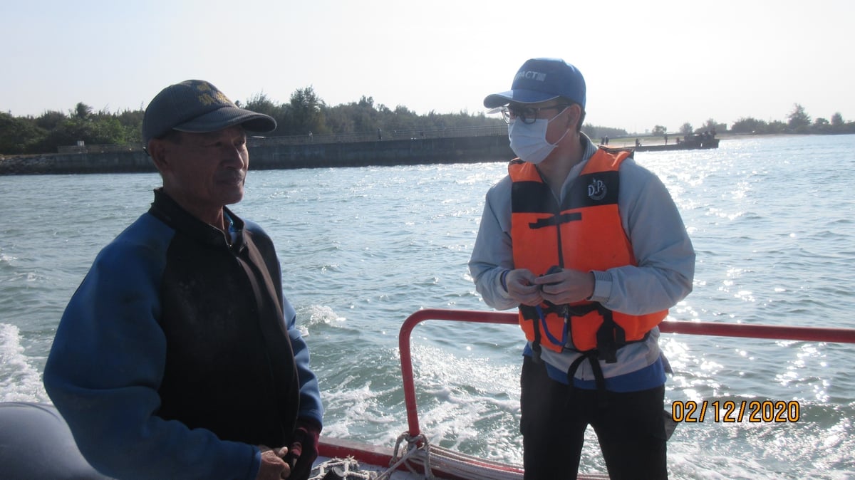
Application of Communication Technology in the Monitoring of Spatial Conflict and Fishery Waste on the Southwest Coast of Taiwan (Budget Amount: 90,510 USD)
Research Experience
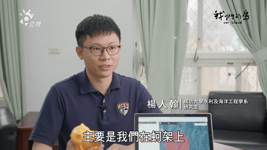
Coastal aquaculture devices monitoring
Application of long-distance active RFID system in floating oyster rafts monitoring in Taiwan.
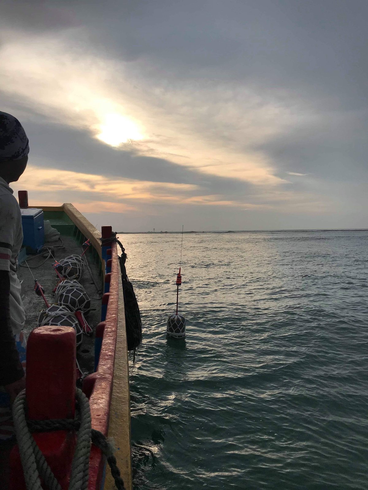
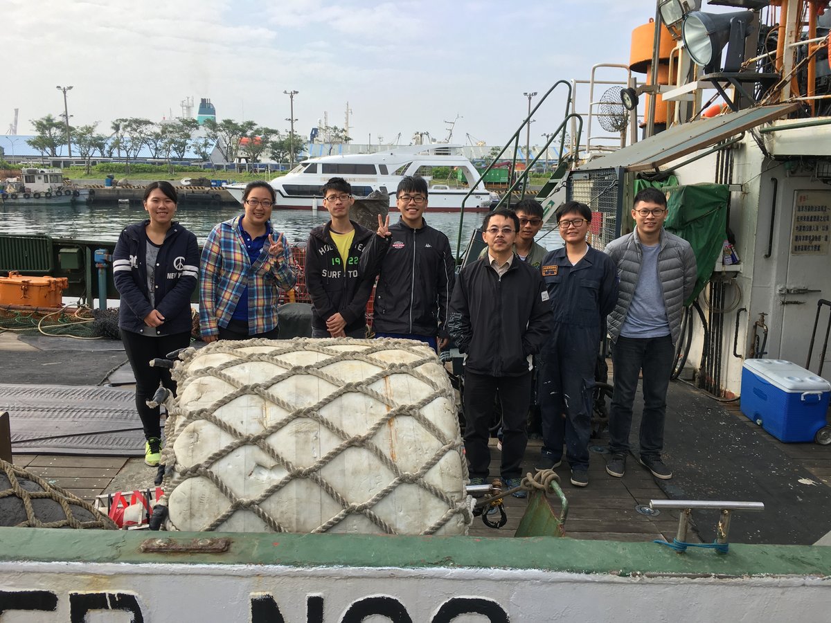
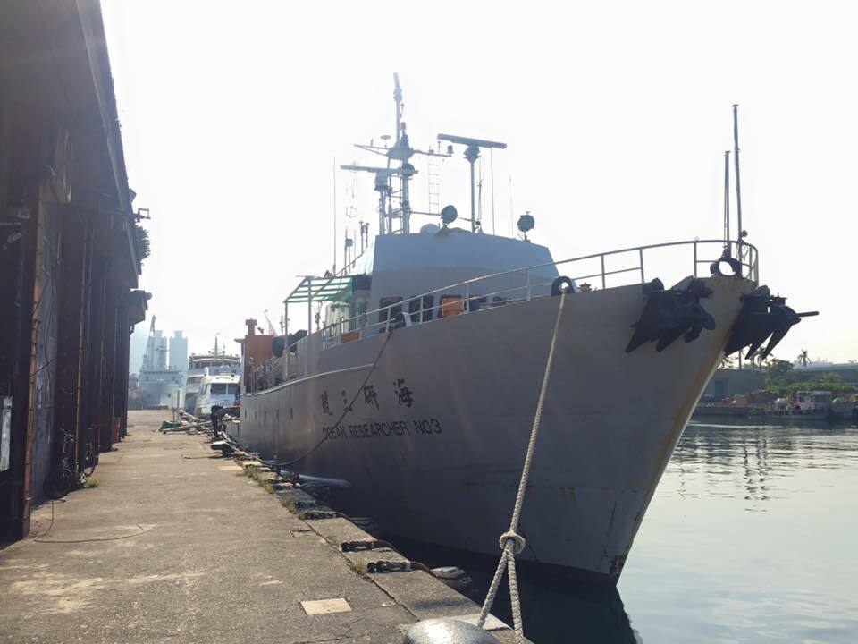
Research Vessel (R/V)
Participate in the activity of research vessel (ORIII) and operate related experimental equipment.
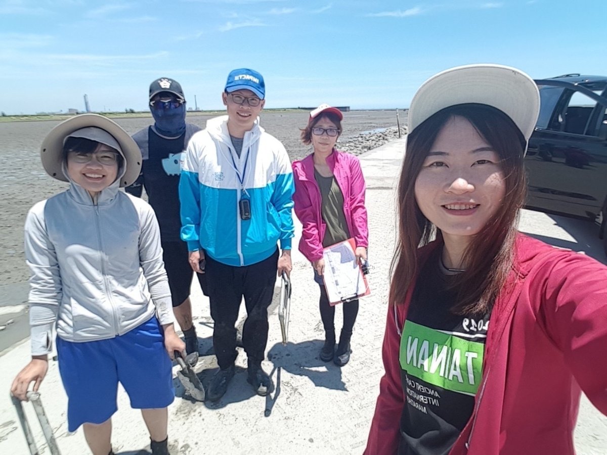
Site investigation
Site investigation and analysis the data of biodiversity hotspots to establish MPA.