- Jobs
 ResumeCreate your job-winning resume using our free resume builder.
 PortfolioShowcase your skills and projects with a professional portfolio.ResumeCreate your job-winning resume using our free resume builder.Resume BuilderMake a resume for free.Resume TemplatesAccess our extensive library of professional & ready-to-use templates.Resume ExamplesGet inspired by real resume examples to create your own.Occupation GuideAccess resume writing guides tailored for different professions.Resume HelpGet expert advice on all things resume from our team of recruitment specialists.
- ResourcesSuccess StoriesBusiness ExcellenceAbout CakeResumeFeatured Reads
- Hire
- Download our App


Techie Maps for Ocean Exploration

Techie Maps for Ocean Exploration
・
United States
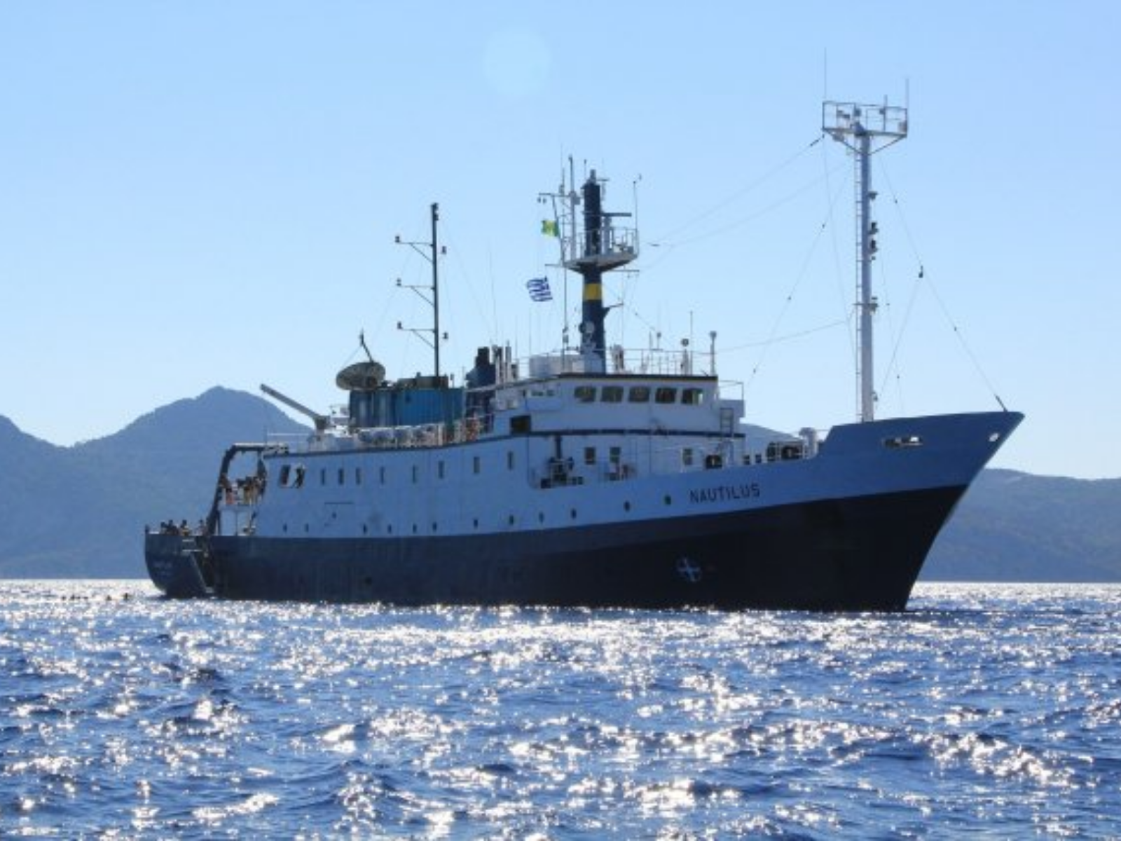
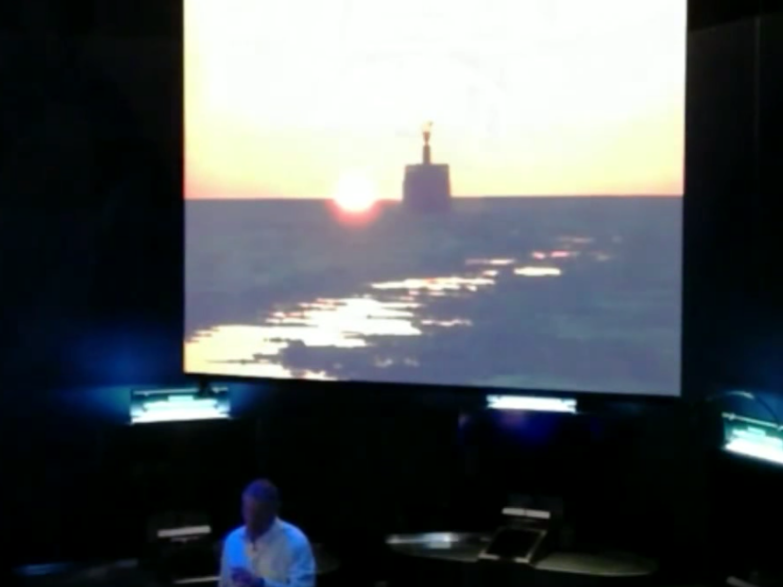
Think about how many times you have used Google Maps to get around, just in the past year. Google Maps has become one of the most popular ways to find one’s way, as it is available as an app that helps people find their way in real time. Now, think about how a Google Maps approach could be used for Ocean Exploration. In order for safe ocean exploration to become standard, more than 5% of the ocean must be mapped. Therefore, scientists have turned to state-of-the-art technology to map sources of natural danger.
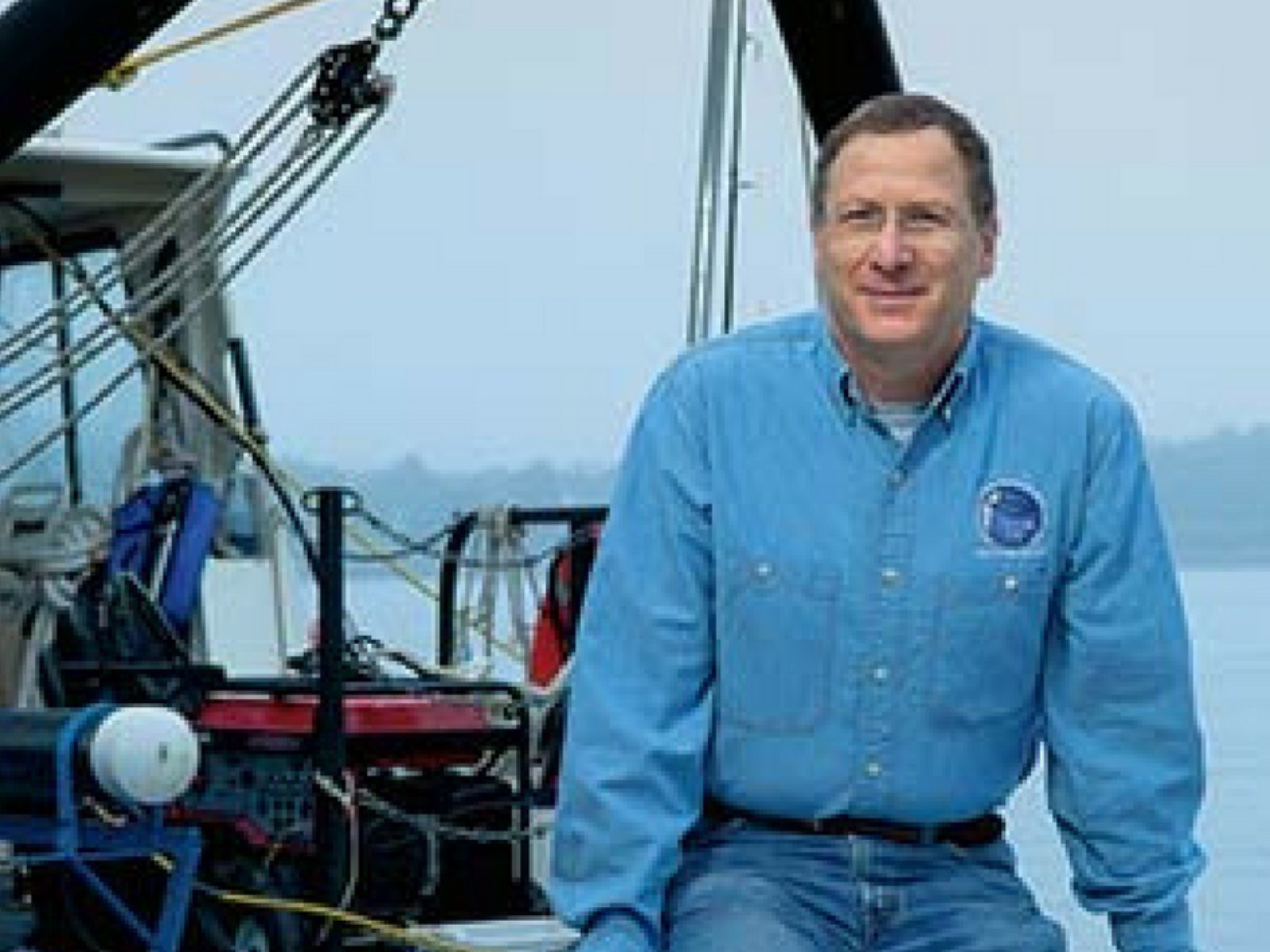
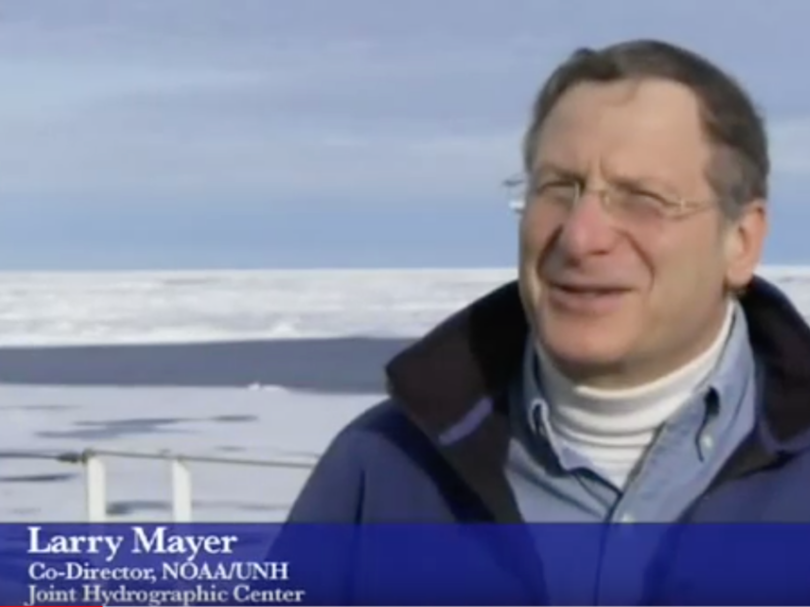
To learn more visit larrymayer.org
Please login to comment.